Most weather forecasting data in the U.S. comes from just four satellites — some of which are 10 years old now. Lucky for us, the National Oceanic and Atmospheric Administration has a major upgrade ready.
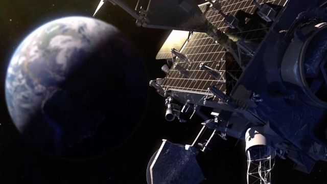
It's preparing to launch GOES-R, the first in a new generation of critical weather satellites.
SEE MORE: NASA's SMAP Satellite Will Measure Wet Dirt From Space
Right now, NOAA runs the fleet of four: Two polar-orbiting satellites close to the planet and two earlier GOES models in geosynchronous orbit that spend all their time staring at the Western Hemisphere. Together, they provide more than 95 percent of the data that goes into day-to-day forecasting for the U.S.
GOES-R will take readings every 30 seconds compared to once every 30 minutes for the current satellites. It carries new tools, like a lightning mapper, that will make it easier to track storms and tornadoes.
Satellites also provide a bigger picture of severe weather than ground-based radar can. A better vantage point means better early warnings — when every minute counts.
The GOES-R launch date has slipped twice since 2014. It's currently sitting in a hangar near the Kennedy Space Center, where it's scheduled to lift off Nov. 4.

